
Drone Inspections
Your trusted partner for professional home services. Quality workmanship, guaranteed satisfaction.

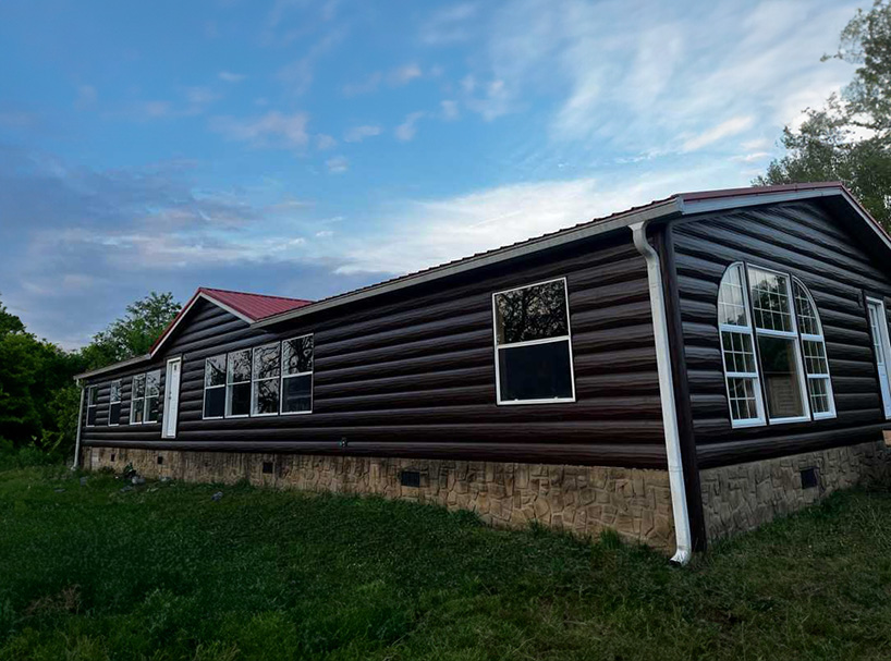
Drone Inspections | Siding Solutions | Roofing | Kingsport
Experience Kingsport’s rooftops and exterior walls like never before with HEP’s state-of-the-art drone inspections. Our FAA-certified pilots capture crisp, high-resolution imagery of every shingle, flashing, and gutter without the hazards or guesswork of traditional climbs, giving you instant clarity on hidden leaks, storm damage, and wear. The result is a fast, safe, and surprisingly affordable way to understand the real condition of your home—before minor issues turn into costly emergencies.
Once the data is in hand, our specialists turn insights into action with precision roof repairs, replacements, and comprehensive siding solutions that elevate curb appeal while boosting energy efficiency. From pinpoint repairs to full exterior makeovers, HEP delivers craftsmanship backed by transparent reports, clear timelines, and the hometown service Kingsport homeowners trust. Let our drones do the dangerous work while we handle the rest—so you can relax under a roof and beside walls built to last.
FAQs
What are the main advantages of choosing drone inspections for my roof or siding in Kingsport?
Drone technology lets us capture high-resolution images and thermal data of every inch of your roof and siding without anyone leaving the ground. That means faster turn-around, lower labor costs, and zero risk of ladder accidents. In Kingsport’s mix of steep roofs and multiple rooflines, drones can safely reach areas that are dangerous or impossible to walk, all while providing objective, geo-referenced imagery you can keep for your records.
How accurate are drone inspections compared with traditional hand-on roof walks?
Our drones are equipped with 4K cameras, LiDAR-assisted altimeters, and industry-grade photogrammetry software. They generate measurements that are typically within ±1/4 inch on length and pitch—more precise than most tape-measure readings taken on a sloped roof. Because we capture dozens of overlapping images, we can zoom in to identify cracked shingles, popped nails, missing flashing, and hidden siding gaps that might be missed during a visual walk-through.
Are drone flights legal and safe over my home in Kingsport?
Yes. All of our pilots hold current FAA Part 107 Remote Pilot Certificates, carry $1 million in aviation liability insurance, and follow Kingsport’s municipal guidelines on drone use. Before takeoff we perform a site survey, check air-space maps for Tri-Cities Airport Class D airspace, and notify nearby property owners when required. The drones have obstacle-avoidance sensors and automated return-to-home functions to keep people, pets, and power lines safe.
What happens during a typical drone inspection visit and how long does it take?
Most residential jobs take 20–30 minutes of flight time and roughly an hour on site. We start with a brief walk-around to identify points of interest, place ground control targets for accurate mapping, and set up a safety perimeter. The drone then performs a programmed grid flight to capture the roof plane, followed by angled passes along the siding for detail shots. You don’t need to be on the roof—or even at home—as long as we have property access.
Can the imagery from a drone inspection help with insurance claims or warranties?
Absolutely. We deliver a cloud-hosted report that includes date-stamped photos, a 3-D model, annotated defect map, and measurement summary. Insurers accept these as third-party documentation of hail, wind, or impact damage, often speeding up claims decisions. Likewise, manufacturers and contractors honor the photos as proof of installation conditions when processing workmanship or material warranties.
How much does a drone roof or siding inspection cost and what do I receive afterward?
For homes in the Kingsport area, pricing starts at $249 for roofs up to 3,000 sq ft and $349 when siding imagery is added. Larger or commercial buildings are quoted per square foot. Within 48 hours you’ll receive: 1) a PDF condition report, 2) downloadable high-resolution imagery, 3) a shareable 3-D model link, and 4) an optional CSV measurement file that contractors can import directly into estimating software.