
Advanced Imaging Tools
Your trusted partner for professional home services. Quality workmanship, guaranteed satisfaction.

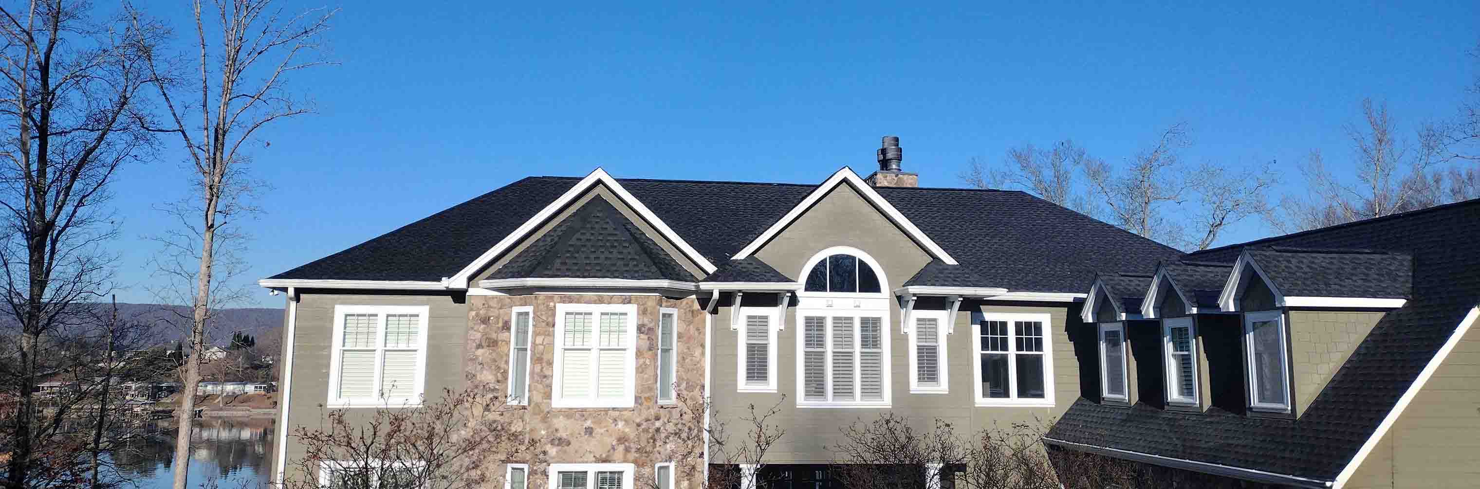
Advanced Imaging Tools | Roof Inspections | Roofing | Elizabethton
Discover what’s really happening overhead with HEP’s advanced imaging tools in Elizabethton. Our drone-mounted cameras and infrared scanners capture crystal-clear visuals of every shingle, flashing, and seam, revealing hidden leaks or storm damage without a single foot stepping on your roof. The result is faster, safer, and more precise roof inspections that empower you with instant, shareable reports and high-resolution photos you can review from the comfort of your living room.
Whether you’re safeguarding a historic downtown bungalow or a sprawling modern build in the foothills, our certified technicians translate cutting-edge imagery into practical repair or maintenance plans. Schedule today and experience why homeowners and property managers across Carter County trust HEP to turn routine roof inspections into a high-tech, hassle-free experience.
FAQs
What advanced imaging tools do you use for roof inspections in Elizabethton?
We deploy high-resolution 4K drones, infrared (thermal) cameras, and AI-assisted photogrammetry software. The drone captures detailed top-down and oblique images, while thermal cameras detect hidden moisture or insulation gaps. Our software turns those images into precise 3-D models and condition reports specific to your roof.
How do these imaging tools improve the accuracy of my roof inspection?
Traditional inspections rely on visual checks from the ground or risky on-roof walks. Our drones collect hundreds of close-range photos, then the AI flags cracked shingles, loose flashing, and hail impacts down to millimeter precision. Thermal scans reveal moisture or heat loss that the eye can’t see. The result is a data-rich report with annotated images, objective measurements, and fewer missed problems.
Will anyone still need to walk on my roof, and is the process safe?
In most cases, no one needs to step on your roof. The drone’s 30× zoom and 3-D mapping cover every angle from a safe distance, eliminating foot-traffic damage and fall risks. If a physical core sample or minor repair is required, our OSHA-certified technicians use proper tie-offs and safety gear, but that’s the exception, not the rule.
How much does an advanced imaging roof inspection cost in the Elizabethton area?
Pricing starts at $249 for homes up to 3,000 sq ft and $399 for larger or steep-slope roofs. Complex commercial roofs or add-on thermal imaging typically range from $0.12–$0.18 per square foot. All packages include the flight, 3-D model, annotated defect map, and a written maintenance plan. We provide firm quotes after a quick phone or online assessment.
Will my insurance company accept drone and thermal images for claims?
Yes. Most carriers now encourage high-resolution photo and thermal documentation because it speeds up claims and reduces disputes. Our reports meet Haag Engineering and ASTM standards, include GPS time stamps, and can be uploaded directly to your adjuster’s portal. We’ll even speak with your insurer on your behalf if clarification is needed.
How do I schedule an inspection, and how long will it take?
Call, text, or book online 24/7. We serve all of Carter County and can usually be on-site within 48 hours. The flight itself takes about 30 minutes for a typical home; analysis and report generation add another 24–48 hours. You’ll receive a secure link to your interactive 3-D model, high-resolution photos, thermal maps, and maintenance recommendations.